
Schoot topographic map
Interactive map
Click on the map to display elevation.
About this map
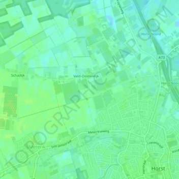
Name: Schoot topographic map, elevation, terrain.
Location: Schoot, Horst aan de Maas, Limburg, Nederland, 5961PA, Nederland (51.46342 6.03711 51.46537 6.03792)
Average elevation: 85 ft
Minimum elevation: 69 ft
Maximum elevation: 98 ft
Other topographic maps
Click on a map to view its topography, its elevation and its terrain.
Horst aan de Maas
Nederland > Limburg > Horst aan de Maas
Horst aan de Maas, Limburg, Nederland
Average elevation: 89 ft
Molenberg
Nederland > Limburg > Horst aan de Maas
Molenberg, Horst aan de Maas, Limburg, Nederland, 5811BN, Nederland
Average elevation: 82 ft