
Bellingen topographic map
Interactive map
Click on the map to display elevation.
About this map
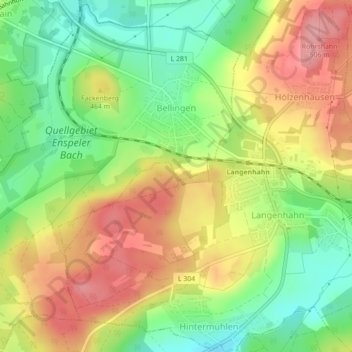
Name: Bellingen topographic map, elevation, terrain.
Average elevation: 1,499 ft
Minimum elevation: 1,325 ft
Maximum elevation: 1,677 ft
Other topographic maps
Click on a map to view its topography, its elevation and its terrain.
Linden
Germany > Rhineland-Palatinate > Westerwaldkreis > Linden
Linden, Hachenburg, Westerwaldkreis, Rhineland-Palatinate, Germany
Average elevation: 1,486 ft