
尕尔曲 topographic map
Interactive map
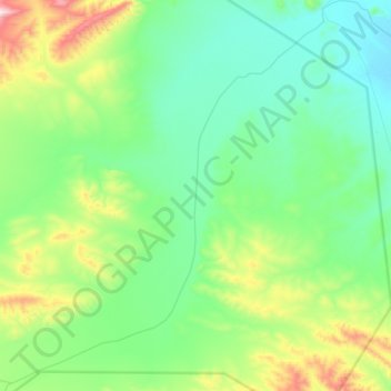
Click on the map to display elevation.
About this map
Name: 尕尔曲 topographic map, elevation, terrain.
Location: 尕尔曲, 雁石坪镇, 安多县, 那曲市, 西藏自治区, 中国 (33.60572 91.65880 33.87691 91.95516)
Average elevation: 15,840 ft
Minimum elevation: 15,302 ft
Maximum elevation: 17,635 ft
Other topographic maps
Click on a map to view its topography, its elevation and its terrain.