
Mogollon Rim topographic map
Interactive map
Click on the map to display elevation.
About this map
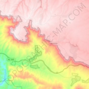
Name: Mogollon Rim topographic map, elevation, terrain.
Location: Mogollon Rim, Gila County, Arizona, États-Unis d'Amérique (34.30022 -111.05789 34.37315 -110.89762)
Average elevation: 6,949 ft
Minimum elevation: 4,911 ft
Maximum elevation: 7,959 ft