
Taman Awam Pantai Tanjung Purun topographic map
Interactive map
Click on the map to display elevation.
About this map
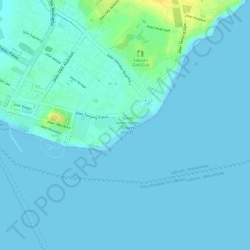
Name: Taman Awam Pantai Tanjung Purun topographic map, elevation, terrain.
Location: Taman Awam Pantai Tanjung Purun, Victoria, Labuan, Malaysia (5.27436 115.25543 5.27622 115.25784)
Average elevation: 13 ft
Minimum elevation: 0 ft
Maximum elevation: 89 ft
Other topographic maps
Click on a map to view its topography, its elevation and its terrain.
Daat Island
Malaysia > Labuan > Labuan > Victoria
Daat Island, Victoria, Labuan, Malaysia
Average elevation: 16 ft