
Muriellos topographic map
Interactive map
Click on the map to display elevation.
About this map
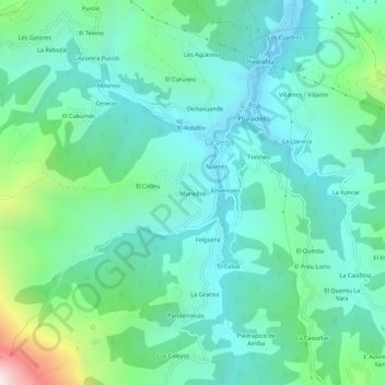
Name: Muriellos topographic map, elevation, terrain.
Location: Muriellos, Asturias, 33160, España (43.20546 -5.90582 43.24546 -5.86582)
Average elevation: 1,765 ft
Minimum elevation: 935 ft
Maximum elevation: 4,760 ft