
马鸣镇 topographic map
Interactive map
Click on the map to display elevation.
About this map
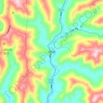
Name: 马鸣镇 topographic map, elevation, terrain.
Location: 马鸣镇, Mianyang, Sichuan, China (31.66327 105.20164 31.74327 105.28164)
Average elevation: 2,116 ft
Minimum elevation: 1,585 ft
Maximum elevation: 2,907 ft
Other topographic maps
Click on a map to view its topography, its elevation and its terrain.