
West Concord topographic map
Interactive map
Click on the map to display elevation.
About this map
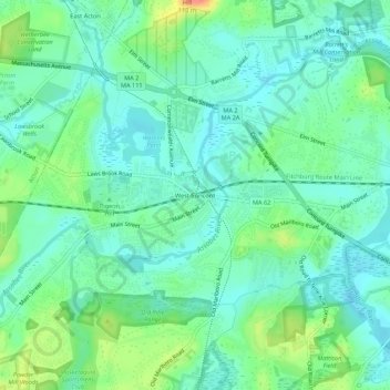
Name: West Concord topographic map, elevation, terrain.
Location: West Concord, Middlesex County, Massachusetts, 01742, USA (42.43669 -71.41423 42.47669 -71.37423)
Average elevation: 154 ft
Minimum elevation: 98 ft
Maximum elevation: 299 ft