Geolocate

Groß-Gerau topographic map

Click on the map to display elevation.

About this map
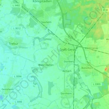
Name: Groß-Gerau topographic map, elevation, terrain.

Location: Groß-Gerau, Kreis Groß-Gerau, Hesse, 64521, Germany (49.86313 8.40462 49.96586 8.55083)

Average elevation: 292 ft

Minimum elevation: 266 ft

Maximum elevation: 374 ft

Gear up for your next adventure:

🎒Trail Energy Bars - High‑calorie bars for hiking energy
⛺Backpacking Tents - Weight-optimized shelters for multi-day topographic surveys
🛠️Outdoor Gear Repair Kit - Essential tools to fix gear on the trail
⛺Backpacking Tent - Lightweight and durable tent for multi‑day hikes
🥘Titanium Cookware - Durable, featherlight pots and pans for backpacking

As an Amazon Associate, this site earns from qualifying purchases at no extra cost to you.