
Folgefonna topographic map
Interactive map
Click on the map to display elevation.
About this map
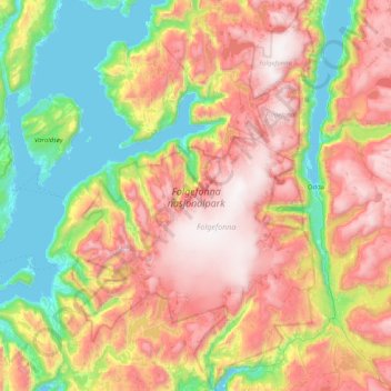
Name: Folgefonna topographic map, elevation, terrain.
Location: Folgefonna, Gardshammar, Kvinnherad, Hordaland, Norway (59.85373 6.04547 60.26219 6.54545)
Average elevation: 2,326 ft
Minimum elevation: -3 ft
Maximum elevation: 5,417 ft