
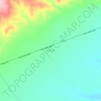
Aïn Fras topographic map
Interactive map
Click on the map to display elevation.
About this map
Name: Aïn Fras topographic map, elevation, terrain.
Location: Aïn Fras, Daïra Aïn Fekan, Mascara, Algérie (35.18528 -0.17533 35.22528 -0.13533)
Average elevation: 1,348 ft
Minimum elevation: 1,142 ft
Maximum elevation: 1,903 ft