
庄户沟村 topographic map
Interactive map
Click on the map to display elevation.
About this map
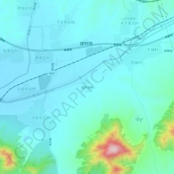
Name: 庄户沟村 topographic map, elevation, terrain.
Location: 庄户沟村, 遵化市, 唐山市, 河北省, 中国 (40.16068 118.10134 40.20068 118.14134)
Average elevation: 404 ft
Minimum elevation: 226 ft
Maximum elevation: 1,444 ft
Other topographic maps
Click on a map to view its topography, its elevation and its terrain.