
Marvell topographic map
Interactive map
Click on the map to display elevation.
About this map
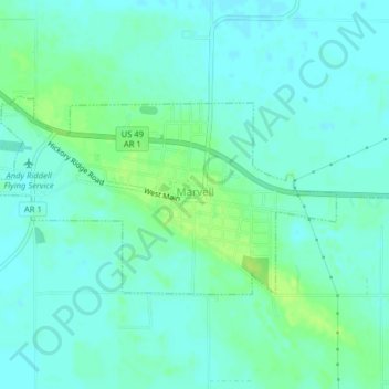
Name: Marvell topographic map, elevation, terrain.
Location: Marvell, Phillips County, Arkansas, États-Unis d'Amérique (34.54750 -90.93693 34.56429 -90.89702)
Average elevation: 197 ft
Minimum elevation: 180 ft
Maximum elevation: 226 ft