
West Albany topographic map
Interactive map
Click on the map to display elevation.
About this map
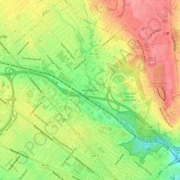
Name: West Albany topographic map, elevation, terrain.
Average elevation: 256 ft
Minimum elevation: 95 ft
Maximum elevation: 394 ft
Other topographic maps
Click on a map to view its topography, its elevation and its terrain.
Normansville
United States > New York > Albany County > City of Albany
Normansville, City of Albany, Albany County, New York, 12209, United States
Average elevation: 184 ft