
Sungai Lembing topographic map
Interactive map
Click on the map to display elevation.
About this map
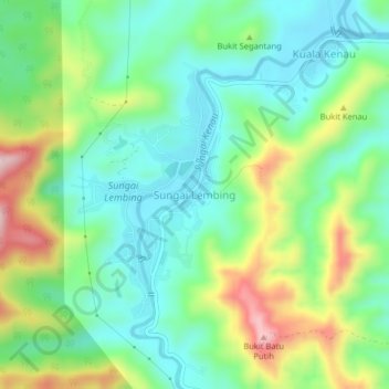
Name: Sungai Lembing topographic map, elevation, terrain.
Location: Sungai Lembing, Kuantan, Pahang, 26200, Malaysia (3.89630 103.01502 3.93630 103.05502)
Average elevation: 404 ft
Minimum elevation: 66 ft
Maximum elevation: 1,109 ft