
Dire Dawa topographic map
Interactive map
Click on the map to display elevation.
About this map
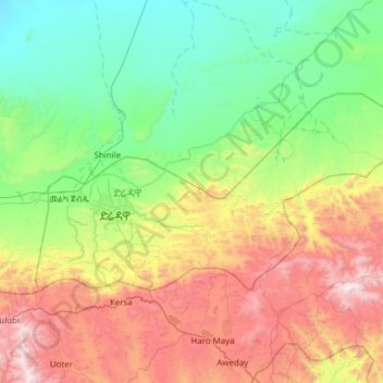
Name: Dire Dawa topographic map, elevation, terrain.
Location: Dire Dawa, Ethiopia (9.47412 41.73044 9.78607 42.34296)
Average elevation: 4,692 ft
Minimum elevation: 2,470 ft
Maximum elevation: 9,311 ft
Other topographic maps
Click on a map to view its topography, its elevation and its terrain.