
Britt topographic map
Interactive map
Click on the map to display elevation.
About this map
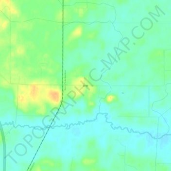
Name: Britt topographic map, elevation, terrain.
Location: Britt, Saint Louis County, Minnesota, USA (47.62020 -92.54546 47.66020 -92.50546)
Average elevation: 1,470 ft
Minimum elevation: 1,434 ft
Maximum elevation: 1,535 ft