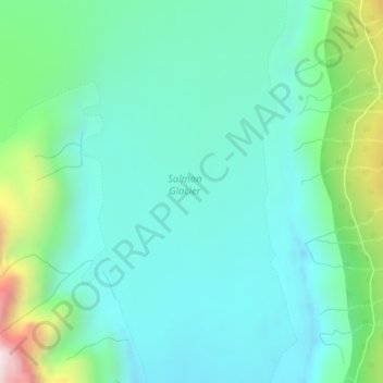
Salmon Glacier topographic map
Interactive map
Click on the map to display elevation.
About this map
Name: Salmon Glacier topographic map, elevation, terrain.
Average elevation: 2,851 ft
Minimum elevation: 2,280 ft
Maximum elevation: 4,836 ft

Click on the map to display elevation.
Name: Salmon Glacier topographic map, elevation, terrain.
Average elevation: 2,851 ft
Minimum elevation: 2,280 ft
Maximum elevation: 4,836 ft