
Torit topographic map
Interactive map
Click on the map to display elevation.
About this map
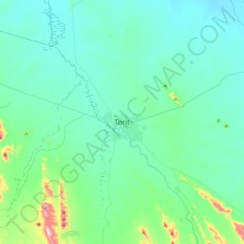
Name: Torit topographic map, elevation, terrain.
Location: Torit, Eastern Equatoria, South Sudan (4.25345 32.40822 4.57345 32.72822)
Average elevation: 2,090 ft
Minimum elevation: 1,762 ft
Maximum elevation: 4,196 ft