
Río Grande de Térraba topographic map
Interactive map
Click on the map to display elevation.
About this map
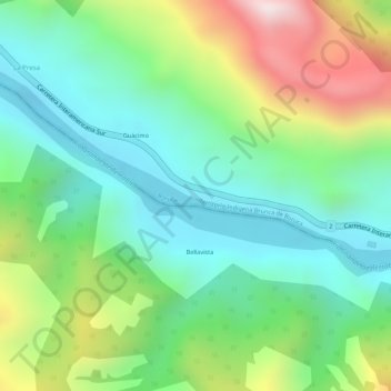
Name: Río Grande de Térraba topographic map, elevation, terrain.
Average elevation: 748 ft
Minimum elevation: 52 ft
Maximum elevation: 2,028 ft