
Visbek topographic map
Interactive map
Click on the map to display elevation.
About this map
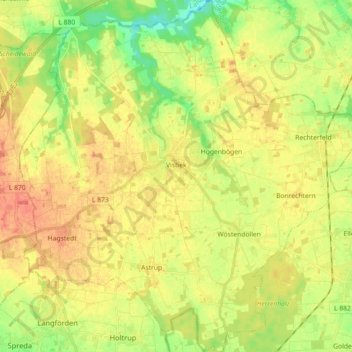
Name: Visbek topographic map, elevation, terrain.
Location: Visbek, Landkreis Vechta, Lower Saxony, 49429, Germany (52.77595 8.23488 52.88437 8.40697)
Average elevation: 161 ft
Minimum elevation: 79 ft
Maximum elevation: 226 ft