
Pee Dee topographic map
Interactive map
Click on the map to display elevation.
About this map
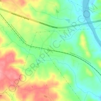
Name: Pee Dee topographic map, elevation, terrain.
Location: Pee Dee, Anson County, North Carolina, USA (34.91515 -79.90950 34.95515 -79.86950)
Average elevation: 259 ft
Minimum elevation: 118 ft
Maximum elevation: 440 ft