
Grimminge topographic map
Interactive map
Click on the map to display elevation.
About this map
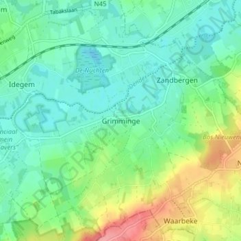
Name: Grimminge topographic map, elevation, terrain.
Location: Grimminge, Aalst, Oost-Vlaanderen, Vlaanderen, 9506, België (50.77453 3.93254 50.81453 3.97254)
Average elevation: 102 ft
Minimum elevation: 16 ft
Maximum elevation: 299 ft