
永宁镇 topographic map
Interactive map
Click on the map to display elevation.
About this map
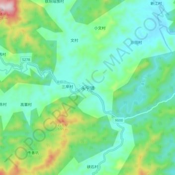
Name: 永宁镇 topographic map, elevation, terrain.
Location: 永宁镇, 阳春市, 阳江市, 广东省, 中国 (22.22135 111.55973 22.30135 111.63973)
Average elevation: 922 ft
Minimum elevation: 397 ft
Maximum elevation: 2,575 ft
Other topographic maps
Click on a map to view its topography, its elevation and its terrain.