
Santander topographic map
Interactive map
Click on the map to display elevation.
About this map
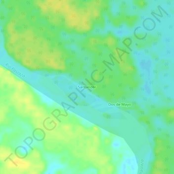
Name: Santander topographic map, elevation, terrain.
Average elevation: 440 ft
Minimum elevation: 407 ft
Maximum elevation: 479 ft
Other topographic maps
Click on a map to view its topography, its elevation and its terrain.
Province of Datem del Marañón
Province of Datem del Marañón, Pastaza, Datem del Marañón, Loreto, Peru
Average elevation: 564 ft