
Falgueiras topographic map
Interactive map
Click on the map to display elevation.
About this map
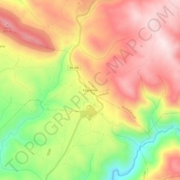
Name: Falgueiras topographic map, elevation, terrain.
Location: Falgueiras, Ervedosa, Vinhais, Distrito de Bragança, Portugal (41.70107 -7.03543 41.74107 -6.99543)
Average elevation: 2,267 ft
Minimum elevation: 1,470 ft
Maximum elevation: 2,864 ft