
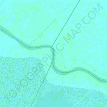
Rio Grande de Mindanao topographic map
Interactive map
Click on the map to display elevation.
About this map
Name: Rio Grande de Mindanao topographic map, elevation, terrain.
Average elevation: 13 ft
Minimum elevation: 3 ft
Maximum elevation: 16 ft
Other topographic maps
Click on a map to view its topography, its elevation and its terrain.
Tamontaka River
Philippines > Maguindanao > Cotabato
Tamontaka River, Cotabato, Cotabato City, Maguindanao, Soccsksargen, 9600, Philippines
Average elevation: 322 ft
Cotabato
Philippines > Maguindanao > Cotabato
Cotabato, Cotabato City, Maguindanao, Soccsksargen, 9600, Philippines
Average elevation: 318 ft
Polloc Island
Philippines > Maguindanao > Cotabato
Polloc Island, Cotabato, Maguindanao, BARMM, 9600, Philippines
Average elevation: 728 ft
Mount Blik
Philippines > Maguindanao > Cotabato
Mount Blik, Cotabato, Maguindanao, BARMM, 9600, Philippines
Average elevation: 3,022 ft
Limbayan Island
Philippines > Maguindanao > Cotabato
Limbayan Island, Cotabato, Maguindanao, BARMM, 9600, Philippines
Average elevation: 30 ft