
Elsa topographic map
Interactive map
Click on the map to display elevation.
About this map
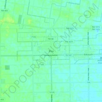
Name: Elsa topographic map, elevation, terrain.
Location: Elsa, Hidalgo County, Texas, 78543, United States (26.25662 -98.03311 26.33662 -97.95311)
Average elevation: 72 ft
Minimum elevation: 59 ft
Maximum elevation: 92 ft
Other topographic maps
Click on a map to view its topography, its elevation and its terrain.