
Massawa topographic map
Interactive map
Click on the map to display elevation.
About this map
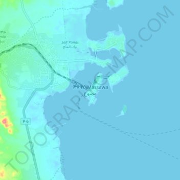
Name: Massawa topographic map, elevation, terrain.
Location: Massawa, Northen Red Sea Region, Eritrea (15.56318 39.42370 15.64318 39.50370)
Average elevation: 16 ft
Minimum elevation: -3 ft
Maximum elevation: 299 ft