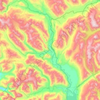
Río Murta topographic map
Interactive map
Click on the map to display elevation.
About this map
Name: Río Murta topographic map, elevation, terrain.
Average elevation: 3,120 ft
Minimum elevation: 223 ft
Maximum elevation: 6,946 ft

Click on the map to display elevation.
Name: Río Murta topographic map, elevation, terrain.
Average elevation: 3,120 ft
Minimum elevation: 223 ft
Maximum elevation: 6,946 ft