
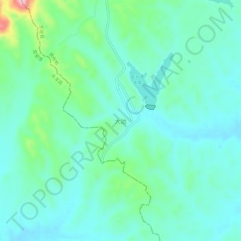
大池 topographic map
Interactive map
Click on the map to display elevation.
About this map
Name: 大池 topographic map, elevation, terrain.
Location: 大池, Le’an, Fuzhou, Jiangxi, China (27.47279 115.59958 27.51279 115.63958)
Average elevation: 495 ft
Minimum elevation: 367 ft
Maximum elevation: 981 ft