
Iglesia topographic map
Interactive map
Click on the map to display elevation.
About this map
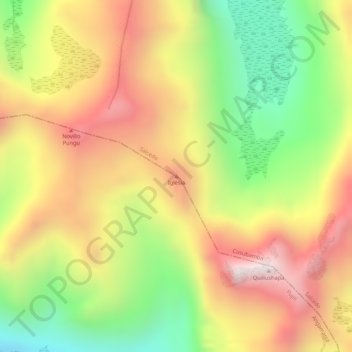
Name: Iglesia topographic map, elevation, terrain.
Location: Iglesia, Cusubamba, Salcedo, Cotopaxi, Ecuador (-1.11706 -78.80426 -1.11696 -78.80416)
Average elevation: 13,911 ft
Minimum elevation: 12,753 ft
Maximum elevation: 14,882 ft
Other topographic maps
Click on a map to view its topography, its elevation and its terrain.
Cordillera de Angamarca y Zumbagua
Ecuador > Cotopaxi > Cusubamba
Cordillera de Angamarca y Zumbagua, Cusubamba, Salcedo, Cotopaxi, Ecuador
Average elevation: 13,957 ft