
İspir topographic map
Interactive map
Click on the map to display elevation.
About this map
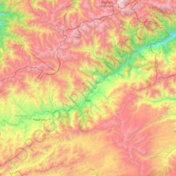
Name: İspir topographic map, elevation, terrain.
Location: İspir, Erzurum, Eastern Anatolia Region, Turkey (40.21248 40.59115 40.83843 41.37822)
Average elevation: 7,392 ft
Minimum elevation: 2,431 ft
Maximum elevation: 12,740 ft