
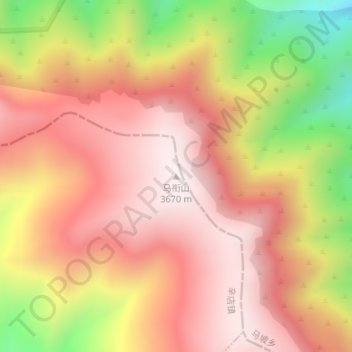
马衔山 topographic map
Interactive map
Click on the map to display elevation.
About this map
Name: 马衔山 topographic map, elevation, terrain.
Location: 马衔山, 辛店镇, 临洮县, 定西市, 甘肃省, 中国 (35.71230 104.01782 35.71240 104.01792)
Average elevation: 11,037 ft
Minimum elevation: 9,583 ft
Maximum elevation: 11,890 ft