
Banderas del Aguila topographic map
Interactive map
Click on the map to display elevation.
About this map
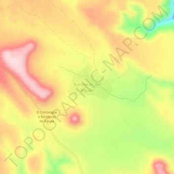
Name: Banderas del Aguila topographic map, elevation, terrain.
Location: Banderas del Aguila, Municipio de Durango, Durango, México (23.90559 -105.36041 23.94559 -105.32041)
Average elevation: 7,946 ft
Minimum elevation: 7,431 ft
Maximum elevation: 8,323 ft