
Yabous topographic map
Interactive map
Click on the map to display elevation.
About this map
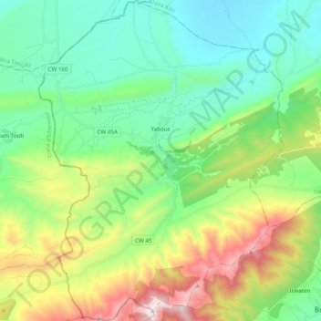
Name: Yabous topographic map, elevation, terrain.
Location: Yabous, Daïra Bouhmama, Khenchela, Algérie (35.31332 6.56839 35.47069 6.71629)
Average elevation: 4,478 ft
Minimum elevation: 3,166 ft
Maximum elevation: 7,592 ft