
Lama topographic map
Interactive map
Click on the map to display elevation.
About this map
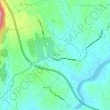
Name: Lama topographic map, elevation, terrain.
Location: Lama, Barcelos, Braga, Cávado, Norte, Portugal (41.55993 -8.56300 41.57801 -8.52528)
Average elevation: 190 ft
Minimum elevation: 49 ft
Maximum elevation: 663 ft