
Oshwe topographic map
Interactive map
Click on the map to display elevation.
About this map
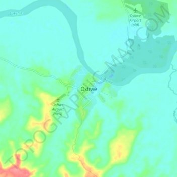
Name: Oshwe topographic map, elevation, terrain.
Location: Oshwe, Mai-Ndombe, Democratic Republic of the Congo (-3.45837 19.39361 -3.37837 19.47361)
Average elevation: 1,063 ft
Minimum elevation: 1,014 ft
Maximum elevation: 1,270 ft