Kula Kangri topographic map
Interactive map
Click on the map to display elevation.
About this map
Name: Kula Kangri topographic map, elevation, terrain.
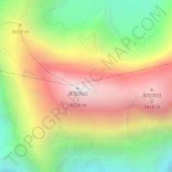
Average elevation: 21,581 ft
Minimum elevation: 18,606 ft
Maximum elevation: 24,741 ft

Click on the map to display elevation.
Name: Kula Kangri topographic map, elevation, terrain.
Average elevation: 21,581 ft
Minimum elevation: 18,606 ft
Maximum elevation: 24,741 ft