
Romariz topographic map
Interactive map
Click on the map to display elevation.
About this map
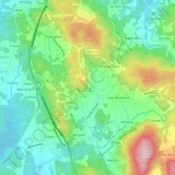
Name: Romariz topographic map, elevation, terrain.
Location: Romariz, Santa Maria da Feira, Aveiro, Portugal (40.92409 -8.47766 40.96385 -8.42723)
Average elevation: 955 ft
Minimum elevation: 659 ft
Maximum elevation: 1,529 ft