
Babakan Ciamis topographic map
Interactive map
Click on the map to display elevation.
About this map
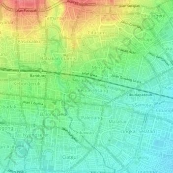
Name: Babakan Ciamis topographic map, elevation, terrain.
Location: Babakan Ciamis, West Java, 40112, Indonesia (-6.93800 107.59374 -6.89800 107.63374)
Average elevation: 2,323 ft
Minimum elevation: 2,238 ft
Maximum elevation: 2,474 ft