
Parada de Cunhos topographic map
Interactive map
Click on the map to display elevation.
About this map
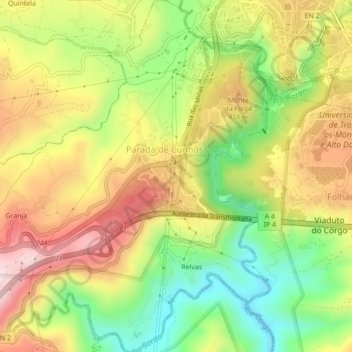
Name: Parada de Cunhos topographic map, elevation, terrain.
Location: Parada de Cunhos, Vila Real, Douro, Norte, Portugal (41.26581 -7.79029 41.29854 -7.74839)
Average elevation: 1,253 ft
Minimum elevation: 587 ft
Maximum elevation: 1,939 ft