
Busa topographic map
Interactive map
Click on the map to display elevation.
About this map
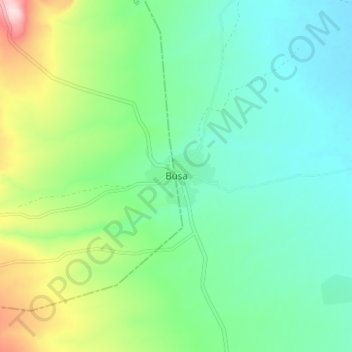
Name: Busa topographic map, elevation, terrain.
Location: Busa, Oromia, Etiopía (8.73654 38.10620 8.81654 38.18620)
Average elevation: 7,159 ft
Minimum elevation: 6,860 ft
Maximum elevation: 7,959 ft