
Gandul topographic map
Interactive map
Click on the map to display elevation.
About this map
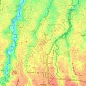
Name: Gandul topographic map, elevation, terrain.
Location: Gandul, West Java, 16512, Indonesia (-6.36862 106.76689 -6.32862 106.80689)
Average elevation: 203 ft
Minimum elevation: 105 ft
Maximum elevation: 259 ft