
Wichtshausen topographic map
Interactive map
Click on the map to display elevation.
About this map
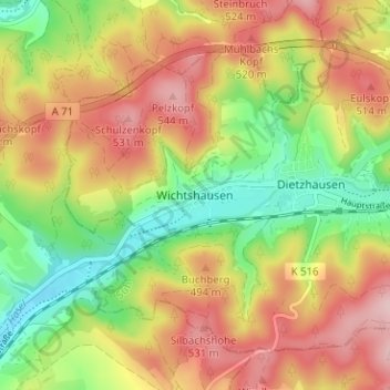
Name: Wichtshausen topographic map, elevation, terrain.
Location: Wichtshausen, Suhl, Thüringen, 98530, Deutschland (50.58106 10.55347 50.62106 10.59347)
Average elevation: 1,463 ft
Minimum elevation: 1,112 ft
Maximum elevation: 1,814 ft