
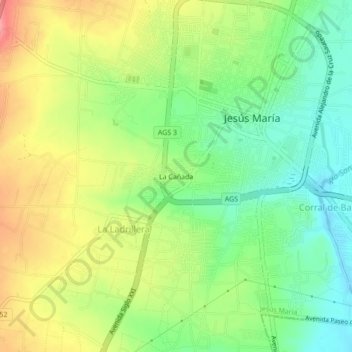
La Cañada topographic map
Interactive map
Click on the map to display elevation.
About this map
Name: La Cañada topographic map, elevation, terrain.
Location: La Cañada, Jesús María, Aguascalientes, 20910, México (21.93474 -102.37382 21.97474 -102.33382)
Average elevation: 6,201 ft
Minimum elevation: 6,066 ft
Maximum elevation: 6,371 ft