
El Paso topographic map
Interactive map
Click on the map to display elevation.
About this map
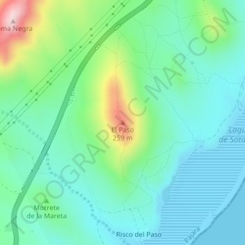
Name: El Paso topographic map, elevation, terrain.
Location: El Paso, Pájara, Las Palmas, Îles Canaries, Espagne (28.12564 -14.26556 28.12574 -14.26546)
Average elevation: 262 ft
Minimum elevation: -10 ft
Maximum elevation: 1,066 ft