
Elsteraue topographic map
Interactive map
Click on the map to display elevation.
About this map
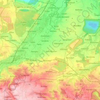
Name: Elsteraue topographic map, elevation, terrain.
Location: Elsteraue, Burgenlandkreis, Saxe-Anhalt, Allemagne (51.00579 12.14694 51.14274 12.29473)
Average elevation: 597 ft
Minimum elevation: 292 ft
Maximum elevation: 935 ft