
304 topographic map
Interactive map
Click on the map to display elevation.
About this map
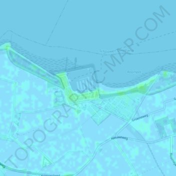
Name: 304 topographic map, elevation, terrain.
Location: 304, Noord-Beveland, Zeeland, Nederland (51.59215 3.71839 51.59220 3.71853)
Average elevation: 0 ft
Minimum elevation: -7 ft
Maximum elevation: 16 ft
Other topographic maps
Click on a map to view its topography, its elevation and its terrain.
Colijnsplaat
Nederland > Zeeland > Noord-Beveland
Colijnsplaat, Noord-Beveland, Zeeland, Nederland
Average elevation: 0 ft
Kats
Nederland > Zeeland > Noord-Beveland
Kats, Noord-Beveland, Zeeland, Nederland
Average elevation: 0 ft
Geersdijk
Nederland > Zeeland > Noord-Beveland
Geersdijk, Noord-Beveland, Zeeland, Nederland
Average elevation: 0 ft
359
Nederland > Zeeland > Noord-Beveland
359, Noord-Beveland, Zeeland, Nederland
Average elevation: 0 ft