
Peña Chiquita topographic map
Interactive map
Click on the map to display elevation.
About this map
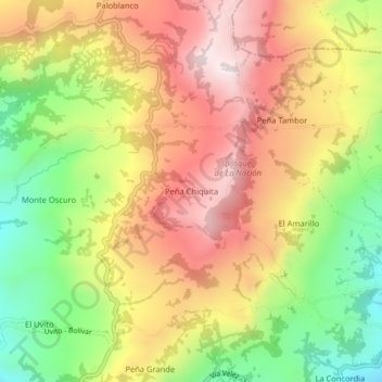
Name: Peña Chiquita topographic map, elevation, terrain.
Location: Peña Chiquita, Vélez, Santander, Colombia (6.00075 -73.71885 6.04075 -73.67885)
Average elevation: 8,182 ft
Minimum elevation: 7,080 ft
Maximum elevation: 9,177 ft